FOSS4G-Europe 2017 Code sprint
Code Sprint
We are following the old tradition of hosting a codesprint on the FOSS4G (https://europe.foss4g.org/2017/Code_Sprint). More precisely, we offer a setting so that individual projects can meet for their codesprint. Since projects benefit from each other as well, the codesprint will naturally be held conjointly at one place.
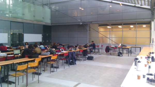
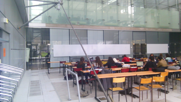
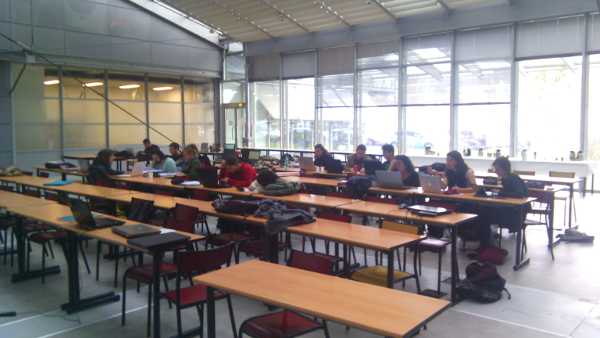
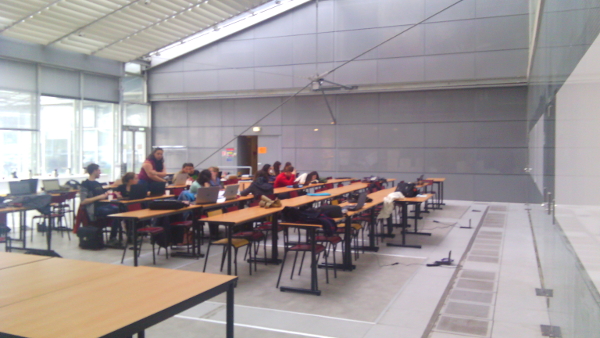
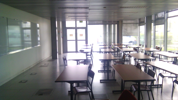
During the next FOSS4G Europe there will be space and time for you to improve your favorite Open Source project. More precisely, we offer a room for the entire conference period where individual projects can meet for their codesprints. Since projects benefit from working with each other as well, there will be also a dedicated day for the codesprint, Saturday 22 July 2017, the last day of the conference.
This is open to all who wish to participate in one or more projects. There’s always plenty to do – it’s not all about programming. Translation, documentation, feedback, discussions, testing – all this is also important for projects so everyone is cordially invited to attend the codesprints! Registration with the conference is not a prerequisite for participation in the codesprint, the codesprint is *free of charge*.
If you are interested to participate, please add you project/name in this wiki page.
Please be sure to avoid huge on-site downloads of data, as this could impact the work of others. Thank you!
The Codesprint Organizing Team is looking forward to your coming!
If you have questions/comments/ideas please let us know, contacting the Code Sprint Committee Chair at lucadeluge at gmail dot com
When
Saturday, the 22nd of July, 2017
Where
- École Nationale des Sciences Géographiques (ENSG)
- Room L006, ENSG (http://osm.org/go/0BO3PhxQU--?m=)
Organizing Contacts
- Luca Delucchi
- Jeff McKenna
- Didier Richard
- Astrid Emde
Individual Preparation
- Bring your own computer
- Bring your power connector adapter (photo: France). See also http://www.power-plugs-sockets.com/
Workgroups
GRASS GIS
Attending:
Goals:
- GSOC support
- Preparation of GRASS GIS 7.4.0 new stable release
- Documentation
ZOO-Project
Attending:
Goals:
- Documentation
- Incubation
MapServer
Attending:
Goals:
- Documentation
- Update demo
OSGeo-Live
Attending:
Goals:
- release planning
- documentation
- & more
QGIS
Attending:
Goals:
- Documentation
PyWPS
Attending:
- Luís de Sousa
- Jachym Cepicky (if travel schedule allows)
Goals:
- Advanced user logging
- Evaluate Celery
- Kickstart WPS 2.0
GDAL
Attending:
Goals:
- TBD
iTowns/QGIS
Attending:
Goals:
- Create a QGIS pluggin to integrate iTowns into it.
CDDA reporting
Attending:
Goals:
- See this issue for plans.
YAGA App & Server
Attending:
- Atd - Arne Schubert
Goals:
- Use the existing YAGA mapping framework implementation to Angular2 and implement an app that is independent from its server.
- Do necessary steps for adding the YAGA app to OSGeoLive.
- Maybe build server environment that fits best on the app.
Project Name
Attending:
- Add your self
Goals:
- Add your goal
