Difference between revisions of "Category:Español"
Jump to navigation
Jump to search
m |
|||
| (4 intermediate revisions by 3 users not shown) | |||
| Line 1: | Line 1: | ||
| − | This | + | '''EN''' : This category shows all pages and subcategories generated under the [[Español|Spanish Language Local Chapter]]. |
| + | |||
| + | '''ES''' : Esta categoría agrupa todas las páginas y subcategorías bajo el marco del [[Español|Capitulo de idioma Español]]. | ||
| + | |||
| + | [[Category:Local Chapters]] | ||
Latest revision as of 23:26, 9 March 2009
EN : This category shows all pages and subcategories generated under the Spanish Language Local Chapter.
ES : Esta categoría agrupa todas las páginas y subcategorías bajo el marco del Capitulo de idioma Español.
Subcategories
This category has the following 13 subcategories, out of 13 total.
Pages in category "Español"
The following 128 pages are in this category, out of 128 total.
A
- ACCESSIBILITY MAPPING PARTY 3.0
- Actividades Geo inquietos Cantabria
- Actividades Geo inquietos Madrid
- Actividades geoinqmad
- User:Adiez
- Agenda del CD de OSGeo Spanish
- Annual Report 2007 Compiled
- Annual Report 2008 Compiled
- Annual Report 2009 Compiled
- Annual Report 2010 Compiled
- Arranque de OSGeo Spanish
- Atlas Botánico de La Oliva
C
G
- Geo inquietos Madrid
- GeoBirras 1 Geoinquietos Sevilla
- GeoBirras 10 Geoinquietos Sevilla
- GeoBirras 11 Geoinquietos Sevilla
- GeoBirras 12 Geoinquietos Sevilla
- GeoBirras 13 Geoinquietos Sevilla
- GeoBirras 14 Geoinquietos Sevilla
- GeoBirras 2 Geoinquietos Sevilla
- GeoBirras 4 Geoinquietos Sevilla
- GeoBirras 5 Geoinquietos Sevilla
- GeoBirras 6 Geoinquietos Sevilla
- GeoBirras 7 Geoinquietos Sevilla
- GeoBirras 8 Geoinquietos Sevilla
- GeoBirras 9 Geoinquietos Sevilla
- Geobirras de Septiembre 2015
- Geoinquietos Córdoba:Ayuda
- Geoinquietos Córdoba:OpenStreetMap
- Geoinquietos Madrid/Evento MediaLab LibreGraphics
- Geoinquietosmadrid grupoPython
- Geoinquietosmadrid grupoR
- Geomateriales para llevar
- Glosario OSGeo
- Grupo Divulgacion
- Grupo OSM
O
R
- Reseñas FOSS4G
- Retrosp2009
- Retrosp2010
- Retrosp20112012
- Retrospectivas OSGeo-es
- Reuniones Generales
- Reunión 1 Geoinquietos Córdoba
- Reunión 1 Geoinquietos Euskadi
- Reunión 10 Geoinquietos Córdoba
- Reunión 10 Geoinquietos Sevilla
- Reunión 11 Geoinquietos Córdoba
- Reunión 11 Geoinquietos Sevilla
- Reunión 12 Geoinquietos Córdoba
- Reunión 12 Geoinquietos Sevilla
- Reunión 13 Geoinquietos Córdoba
- Reunión 13 Geoinquietos Sevilla
- Reunión 14 Geoinquietos CórdobA
- Reunión 14 Geoinquietos Córdoba
- Reunión 14 Geoinquietos Sevilla
- Reunión 15 Geoinquietos Córdoba
- Reunión 15 Geoinquietos Sevilla
- Reunión 16 Geoinquietos Córdoba
- Reunión 16 Geoinquietos Sevilla
- Reunión 17 Geoinquietos Córdoba
- Reunión 17 Geoinquietos Sevilla
- Reunión 18 Geoinquietos Córdoba
- Reunión 18 Geoinquietos Sevilla
- Reunión 19 Geoinquietos Córdoba
- Reunión 19 Geoinquietos Sevilla
- Reunión 2 Geoinquietos Córdoba
- Reunión 2 Geoinquietos Euskadi
- Reunión 2 Geoinquietos Sevilla
- Reunión 3 Geoinquietos Córdoba
- Reunión 3 Geoinquietos Sevilla
- Reunión 4 Geoinquietos Córdoba
- Reunión 4 Geoinquietos Sevilla
- Reunión 5 Geoinquietos Córdoba
- Reunión 5 Geoinquietos Sevilla
- Reunión 6 Geoinquietos Córdoba
- Reunión 6 Geoinquietos Sevilla
- Reunión 7 Geoinquietos Córdoba
- Reunión 7 Geoinquietos Sevilla
- Reunión 8 Geoinquietos Córdoba
- Reunión 8 Geoinquietos Sevilla
- Reunión 9 Geoinquietos Córdoba
- Reunión 9 Geoinquietos Sevilla
- Reunión General - 2012-03-26
- Reunión General - 2012-05-28
- Reunión I Geocamp ES
- Reunión OSGeo-ES 5as Jornadas gvSIG
- ReuOsgeoEs6GvSIG
S
Media in category "Español"
The following 68 files are in this category, out of 68 total.
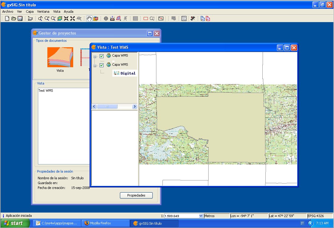
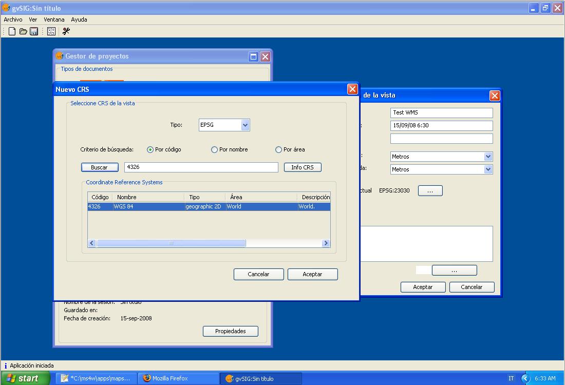
- Gvsig add layer 2 overview.jpg 1,100 × 753; 136 KB
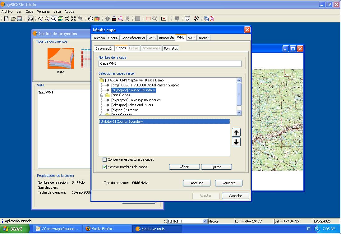
- Gvsig add layer 2.jpg 1,097 × 753; 125 KB
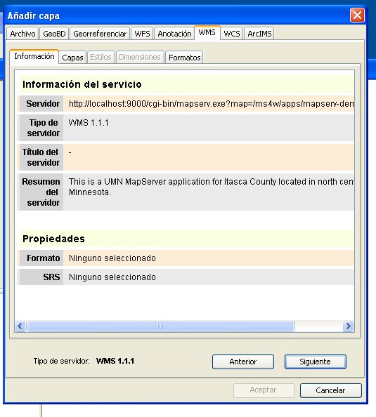
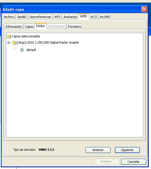
- Gvsig add layer panel 2.jpg 535 × 594; 54 KB
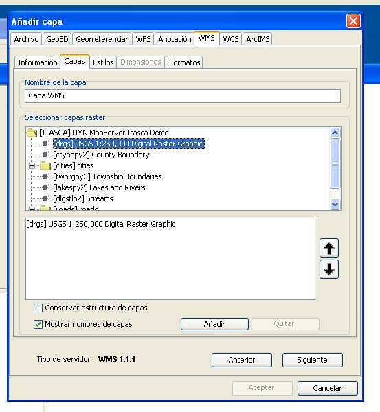
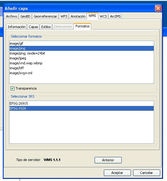
- Gvsig add layer panel 3.jpg 553 × 600; 62 KB
- Gvsig add layer panel 4.jpg 531 × 593; 36 KB
- Gvsig add layer panel 5.jpg 542 × 588; 50 KB
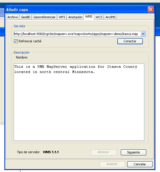
- Gvsig add layer panel.jpg 551 × 594; 44 KB
- Gvsig adding view 2.jpg 1,100 × 750; 81 KB
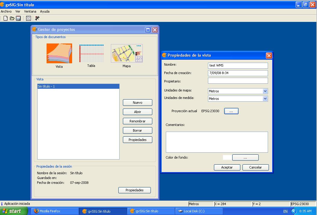
- Gvsig adding view.jpg 1,055 × 717; 79 KB
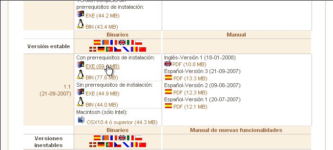
- Gvsig download link.jpg 682 × 308; 43 KB
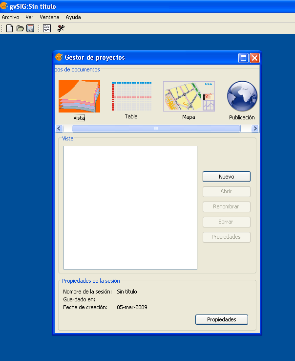
- Gvsig extension publicacion web shot1.png 604 × 738; 45 KB
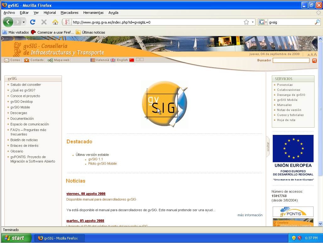
- Gvsig home page.jpg 1,028 × 773; 98 KB
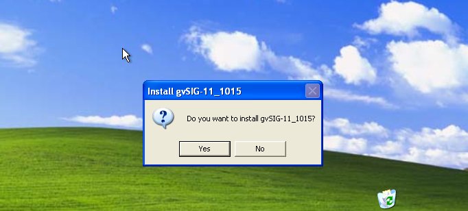
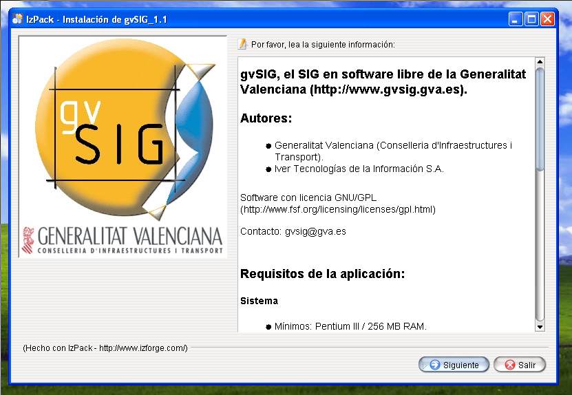
- Gvsig installer 1.jpg 682 × 308; 32 KB
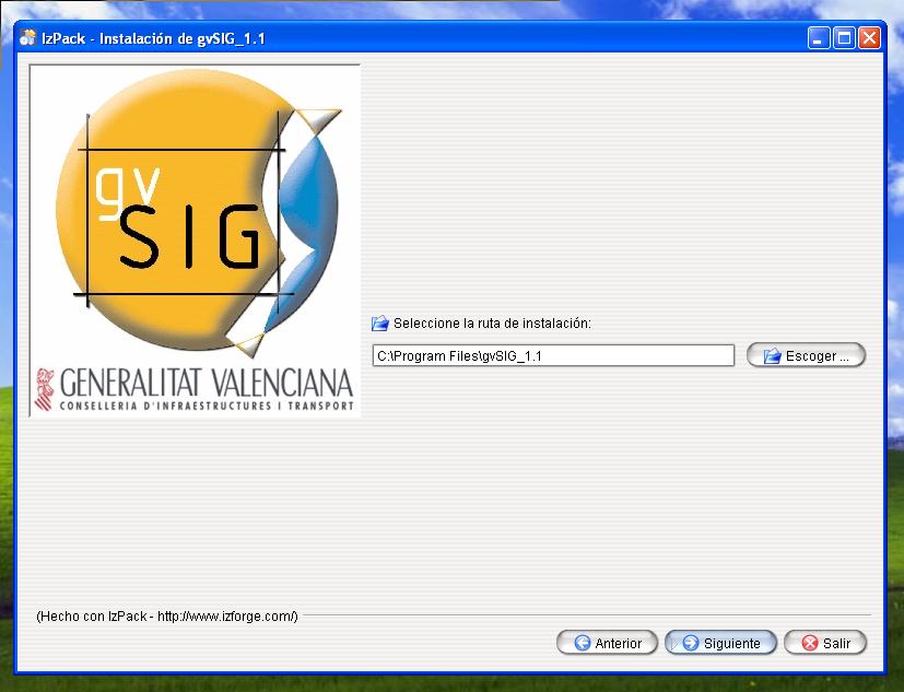
- Gvsig installer 10.jpg 827 × 633; 57 KB
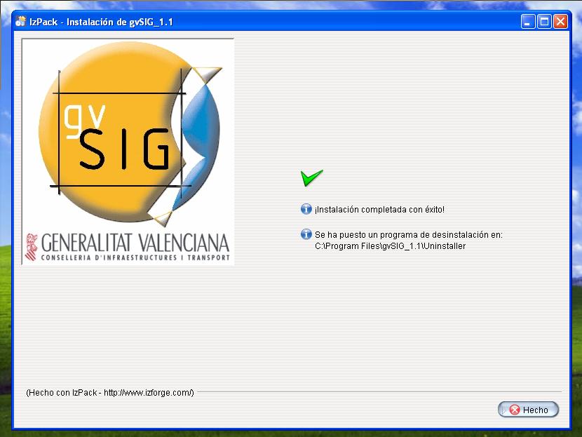
- Gvsig installer 11.jpg 830 × 623; 59 KB
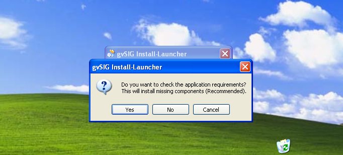
- Gvsig installer 2.jpg 682 × 308; 37 KB
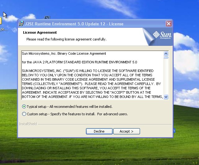
- Gvsig installer 3.jpg 641 × 534; 83 KB
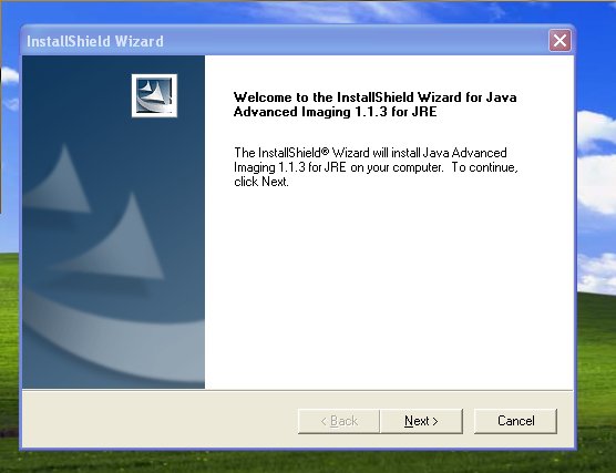
- Gvsig installer 4.jpg 556 × 427; 32 KB
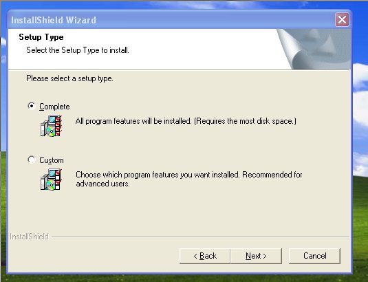
- Gvsig installer 5.jpg 535 × 410; 32 KB
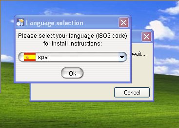
- Gvsig installer 6.jpg 367 × 264; 22 KB
- Gvsig installer 7.jpg 831 × 574; 64 KB
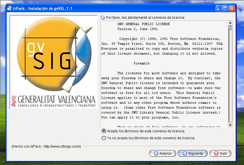
- Gvsig installer 8.jpg 844 × 571; 103 KB
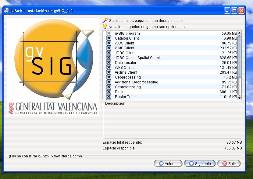
- Gvsig installer 9.jpg 830 × 588; 81 KB
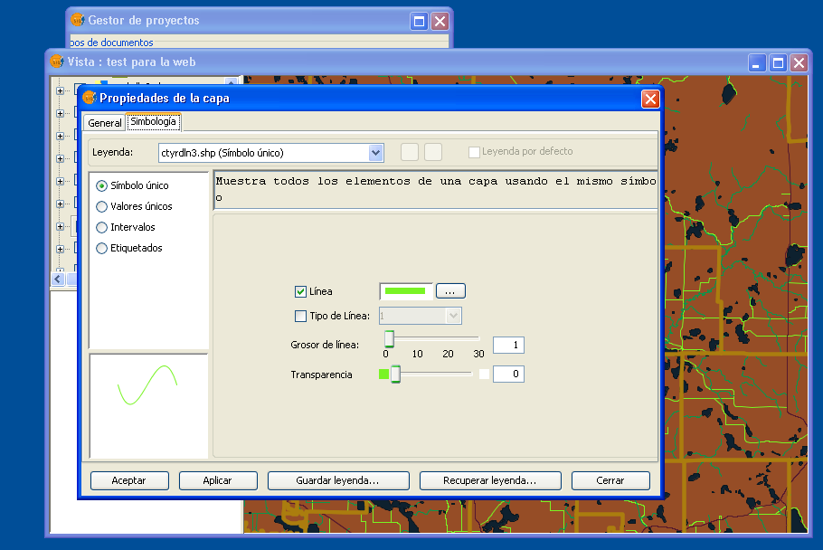
- Gvsig layer simbology.png 910 × 608; 89 KB
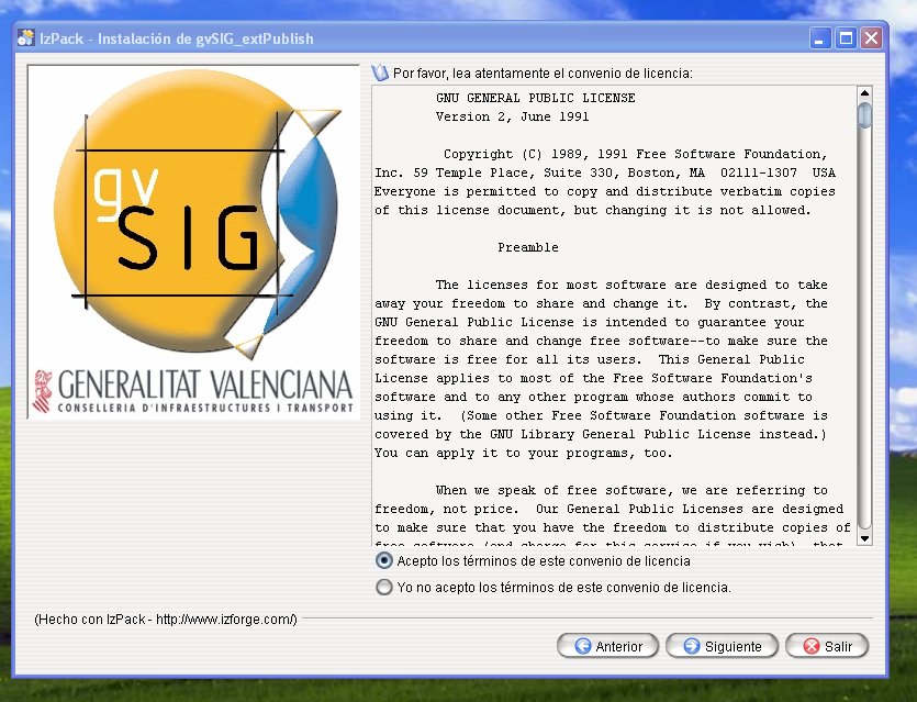
- Gvsig mapserver module check license agree.jpg 835 × 639; 132 KB
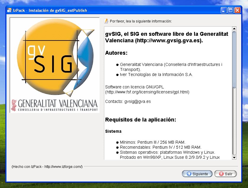
- Gvsig mapserver module check license.jpg 837 × 636; 104 KB
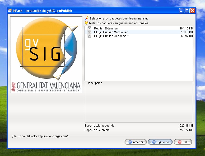
- Gvsig mapserver module check packages.jpg 864 × 657; 86 KB
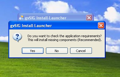
- Gvsig mapserver module check requirements.jpg 402 × 259; 25 KB
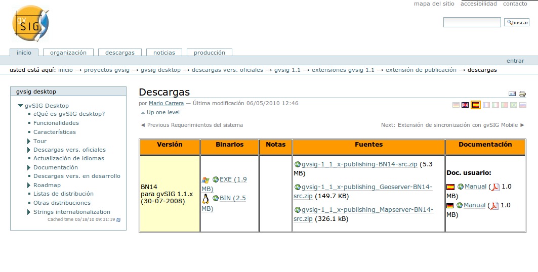
- Gvsig mapserver module download page.jpg 1,063 × 538; 103 KB
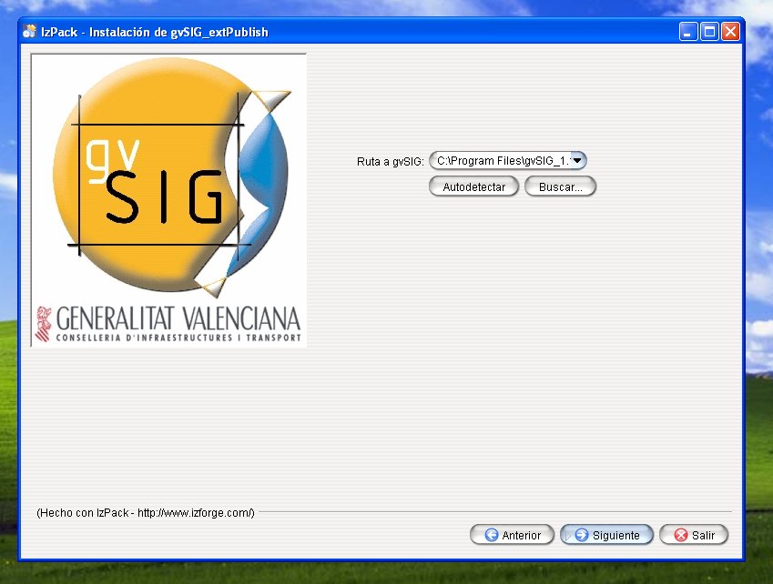
- Gvsig mapserver module find gvsig.jpg 849 × 642; 72 KB
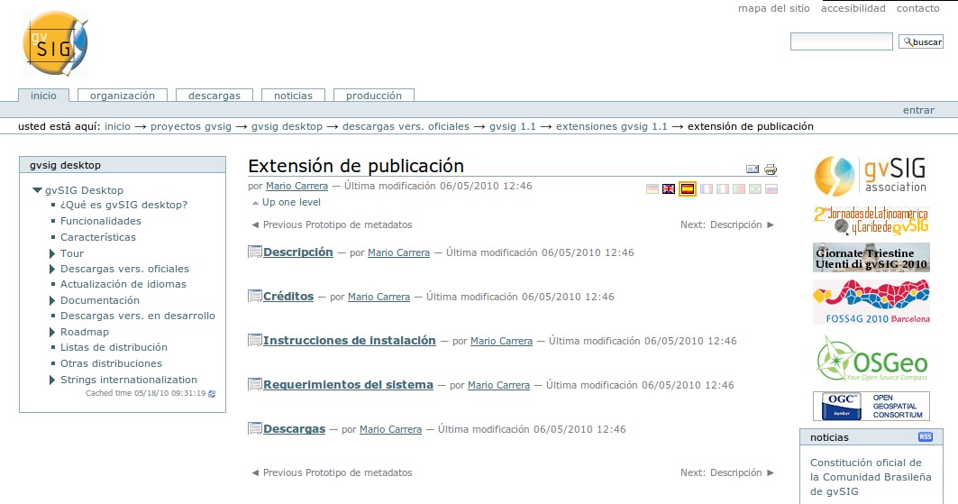
- Gvsig mapserver module home page.jpg 1,063 × 559; 114 KB
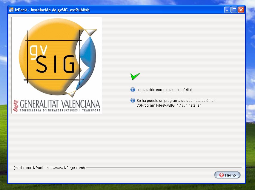
- Gvsig mapserver module install ok.jpg 854 × 636; 73 KB
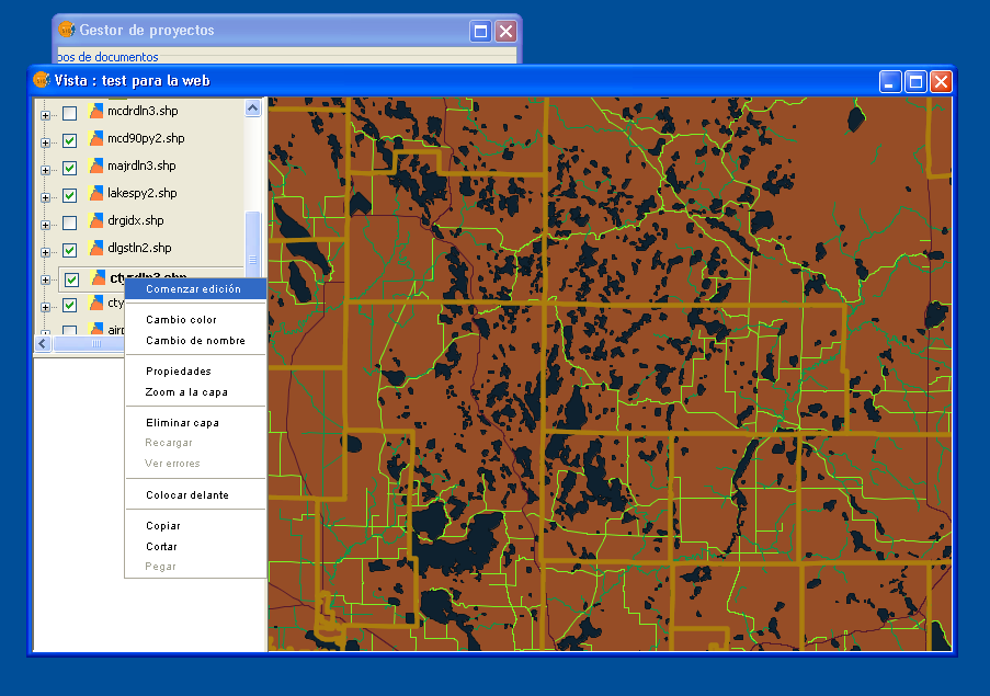
- Gvsig menu layer.png 903 × 635; 186 KB
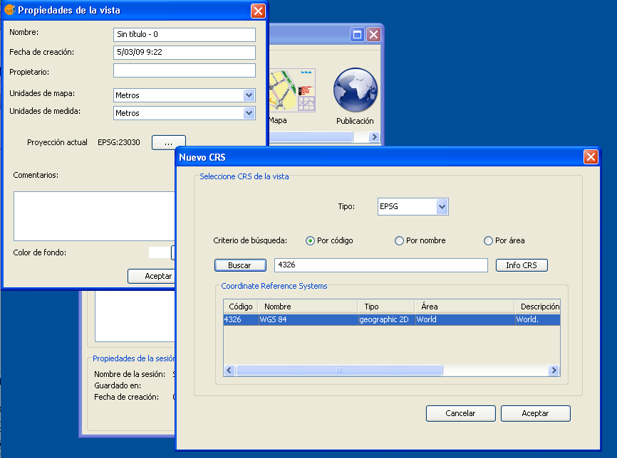
- GvSig propriedades vista.png 866 × 644; 55 KB
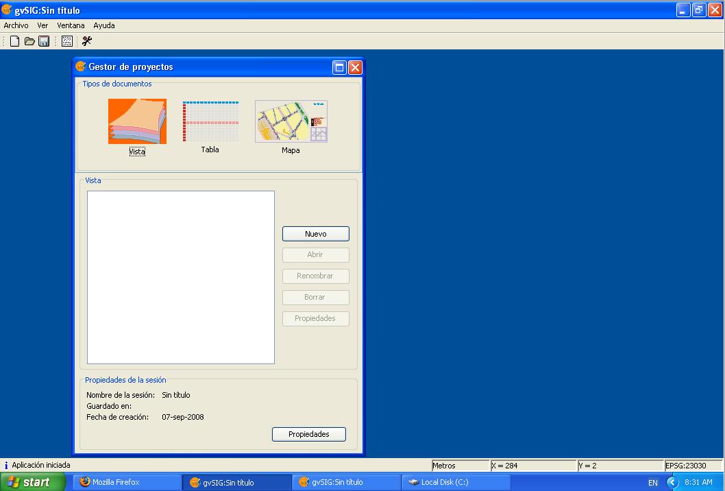
- Gvsig vista 1.jpg 1,058 × 716; 57 KB
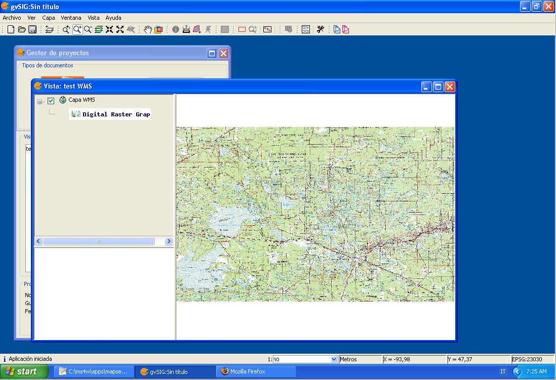
- Gvsig wms layer.jpg 1,098 × 751; 148 KB
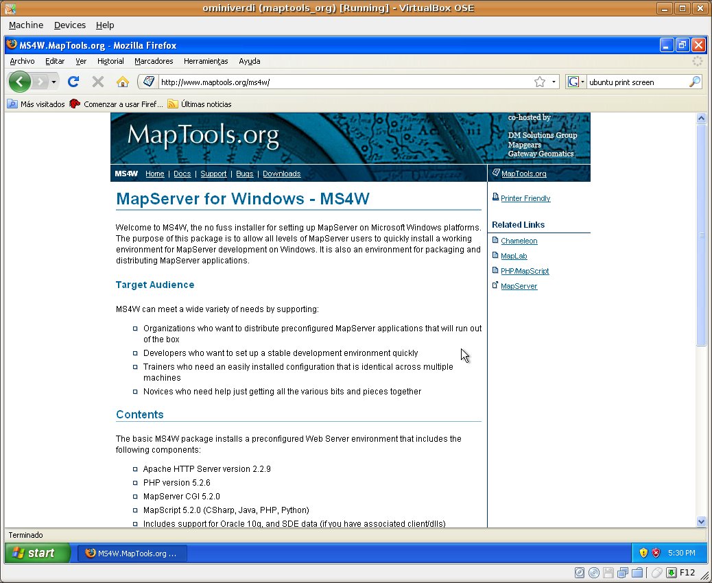
- Home page ms4w.jpg 1,038 × 850; 159 KB
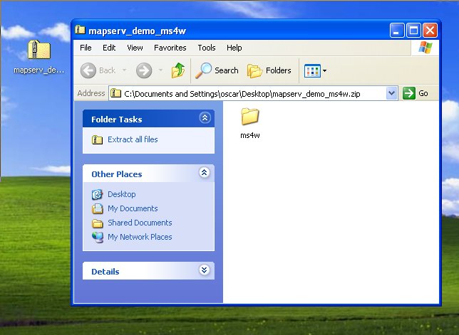
- Itasca 1.jpg 644 × 471; 49 KB
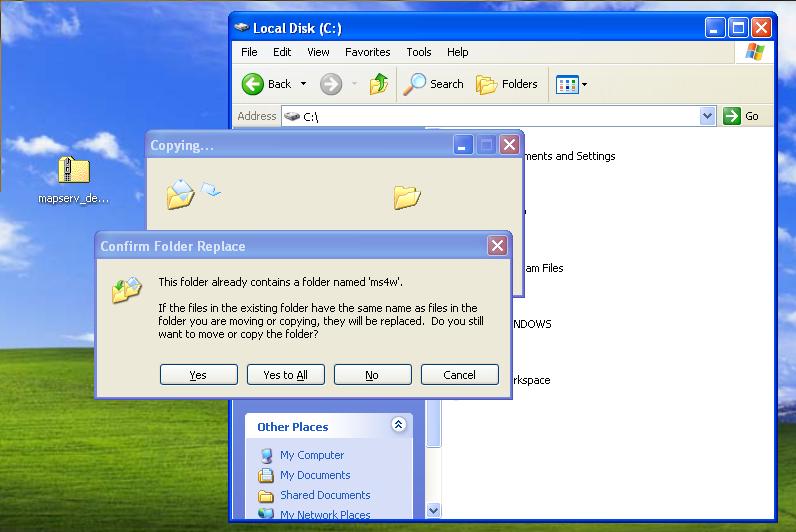
- Itasca 2.jpg 796 × 532; 56 KB
- Itasca demo link.jpg 597 × 176; 20 KB
- Ms4w base url.jpg 436 × 86; 13 KB
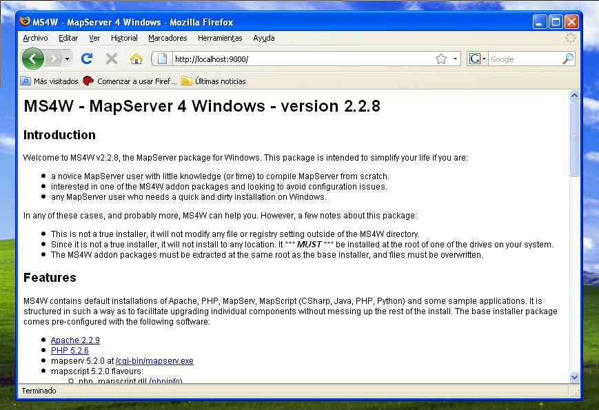
- Ms4w home page.jpg 869 × 595; 102 KB
- Ms4w installer 1.jpg 452 × 372; 35 KB
- Ms4w installer 2.jpg 441 × 349; 29 KB
- Ms4w installer 3.jpg 444 × 356; 27 KB
- Ms4w installer 4.jpg 436 × 349; 57 KB
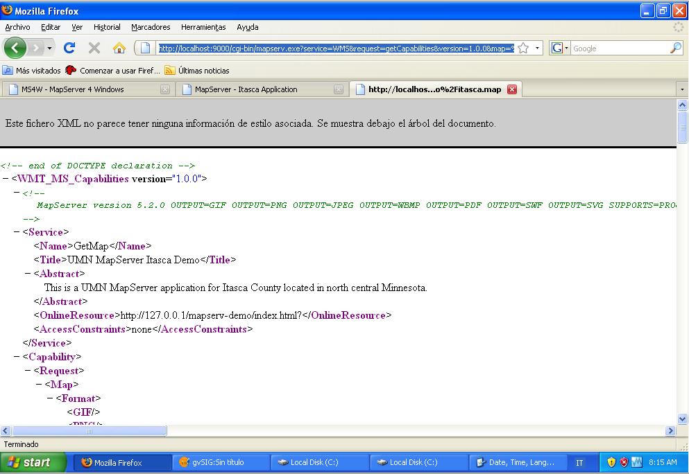
- Ms4w itasca getCapabilities.jpg 993 × 684; 92 KB
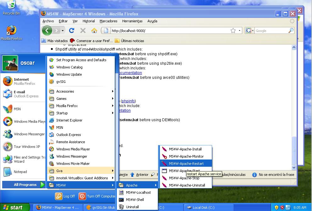
- Ms4w restart server.jpg 993 × 672; 109 KB
- Ms4w wms getLegendGraphics.jpg 1,095 × 756; 68 KB
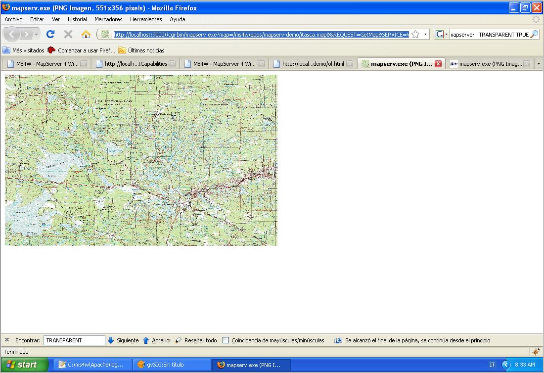
- Ms4w wms getMap.jpg 1,100 × 754; 155 KB
- Ms4w.exe link.jpg 550 × 188; 17 KB
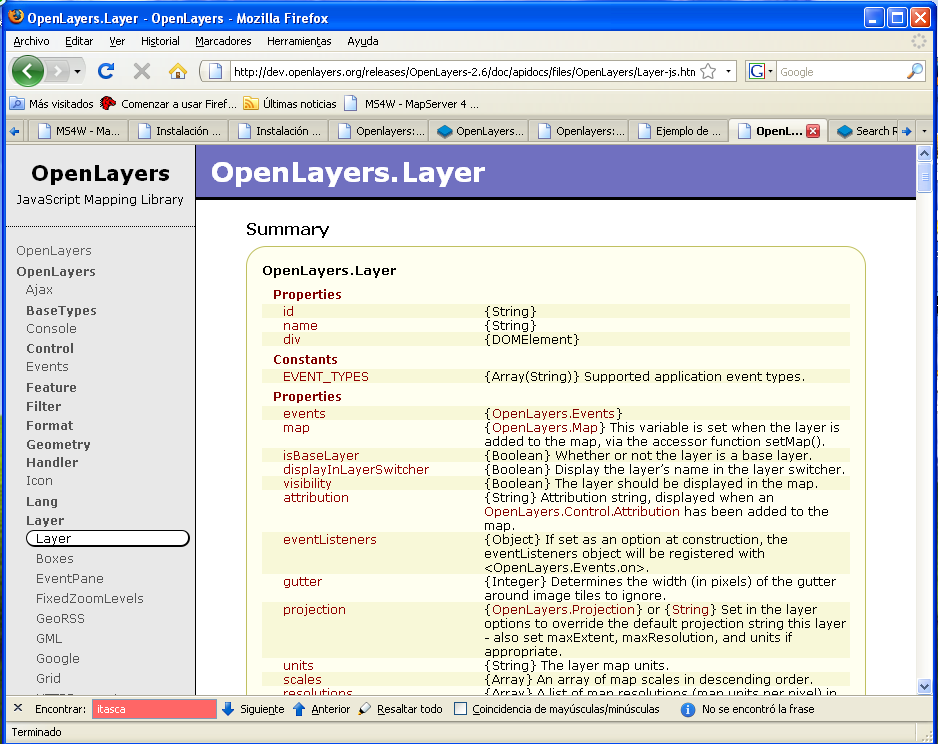
- Openlayers API web.png 938 × 744; 93 KB
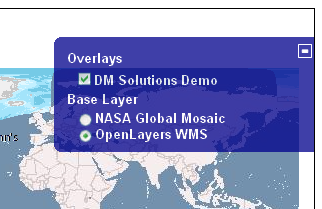
- Openlayers control layerswitcher.png 322 × 209; 63 KB
- Openlayers control MousePosition.png 221 × 77; 9 KB
- Openlayers control MouseToolbar.png 58 × 79; 7 KB
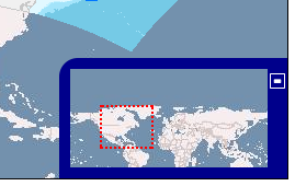
- Openlayers control OverviewMap.png 269 × 170; 39 KB
- Openlayers control pan.png 82 × 75; 8 KB
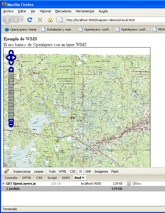
- Openlayers Control PanZoomBar firebug.png 577 × 744; 566 KB
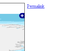
- Openlayers control Permalink.png 203 × 173; 7 KB
- Openlayers control ScaleLine.png 134 × 59; 6 KB
- Openlayers control zoom.png 79 × 114; 13 KB
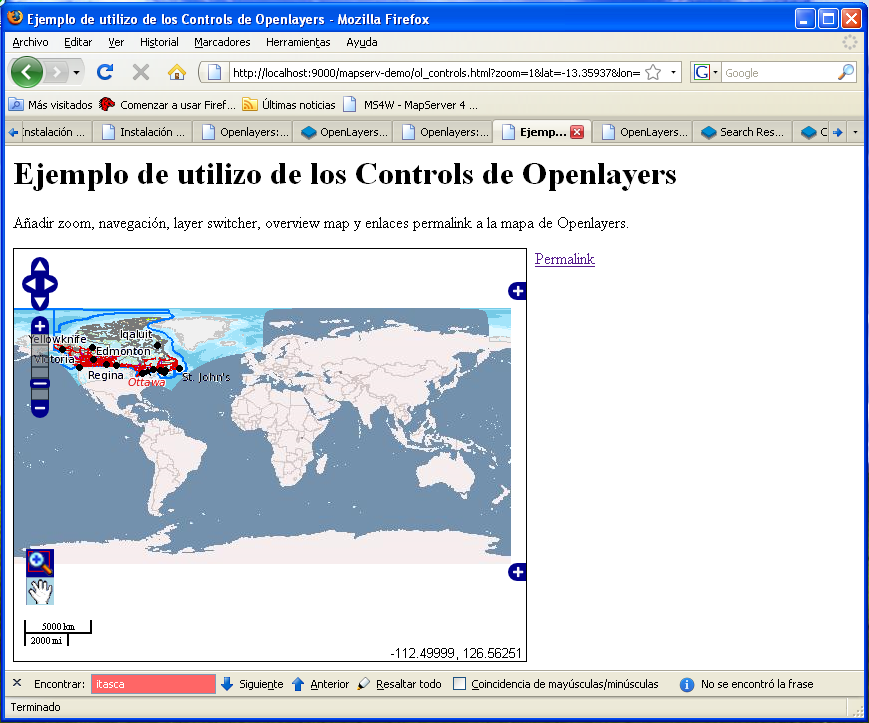
- Openlayers controls overview.png 869 × 723; 210 KB
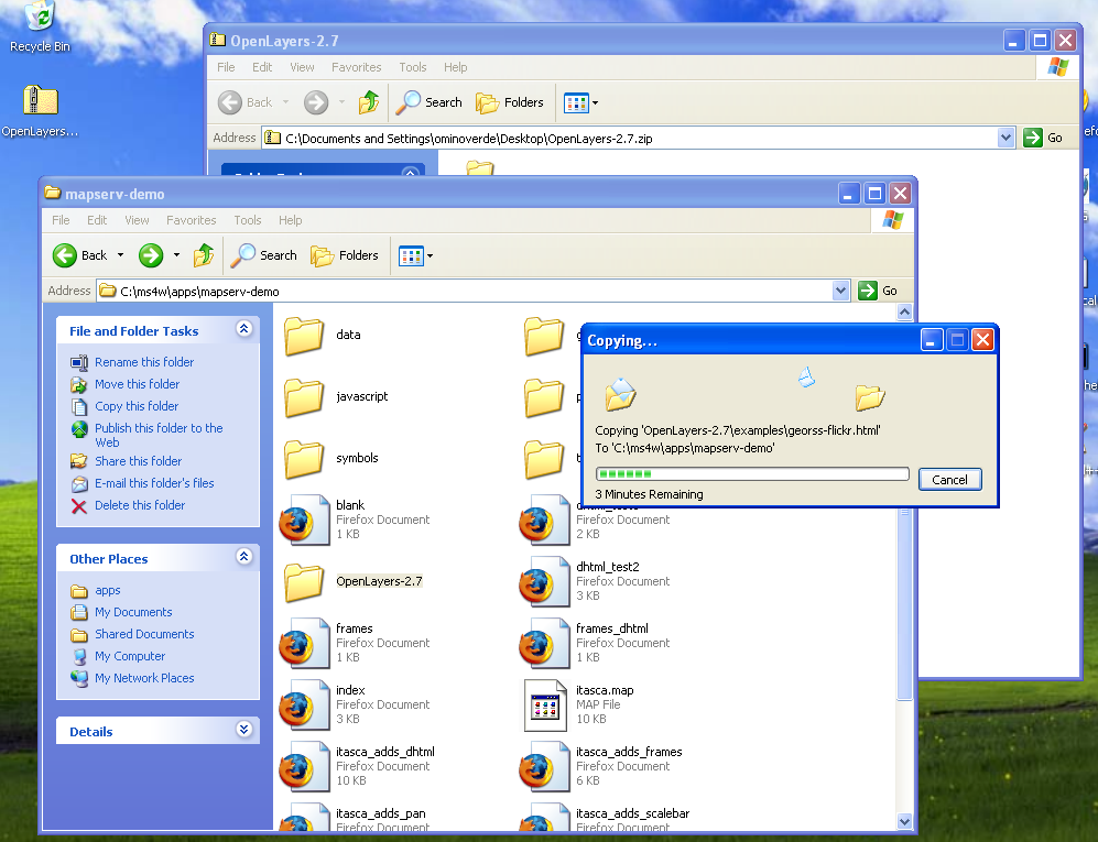
- Openlayers copy on working dir.png 997 × 765; 245 KB
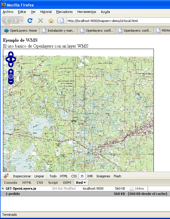
- Openlayers firebug showing js weigth.png 579 × 746; 566 KB
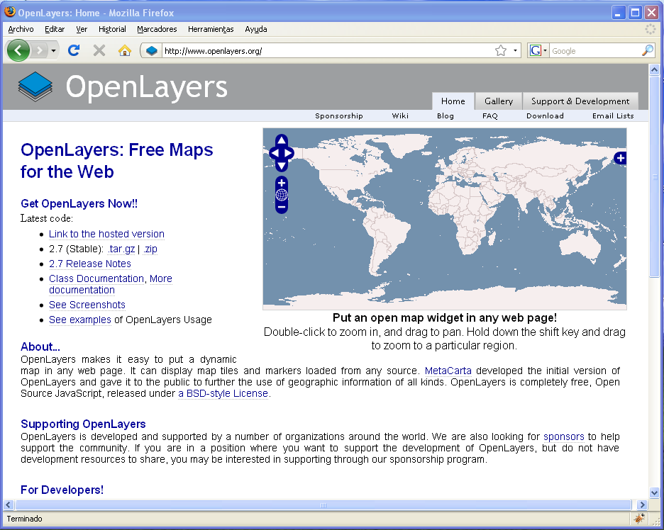
- Openlayers home page.png 936 × 748; 104 KB
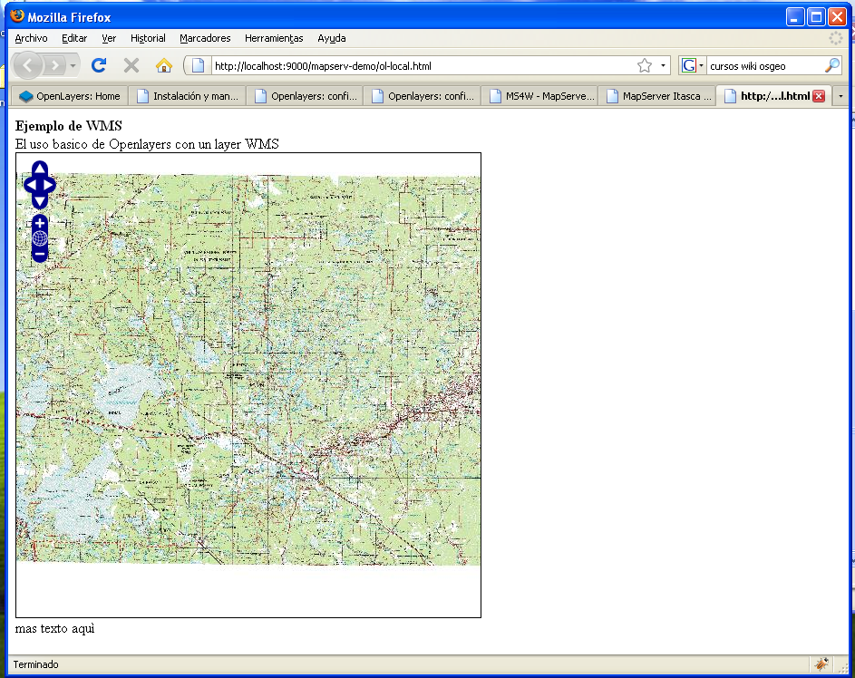
- Openlayers map with local library.png 943 × 748; 653 KB
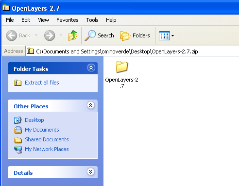
- Openlayers zip file.png 492 × 383; 32 KB
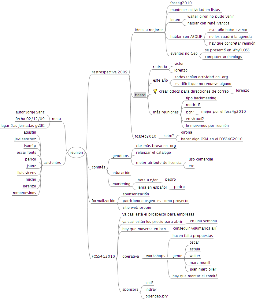
- Reunion-OSGeoES-5asJornadas-gvSIG.png 837 × 978; 51 KB
